|
|
 |
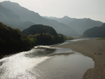 |
Kumano-gawa River was a part of pilgrimage road so that it is a part of the World Heritage.
This trail starts at the ferry on this river. |
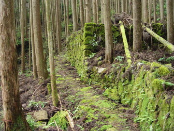 |
From Shiko to Banze-toge Pass, old road remains just before the pass for
short distance. |
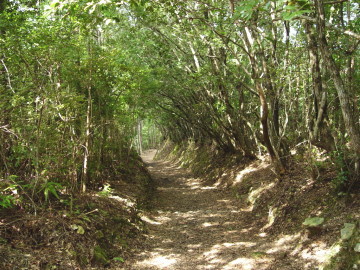 |
This trail joins "Kokumotorikoe trail," a part of "Nakahechi
Route," and leads to Hongu-taisha Shrine. |
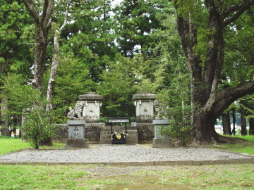 |
Hongu-taisha Shrine was carried away by a flood in August, 1889. Former
site is called "Oyunohara." Land of the shrine was eight-times
-wider than present one.
Now, there is silent space. |
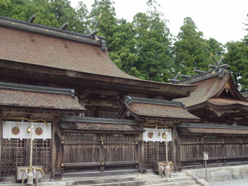 |
Hongu-taisha Shrine is the final purpose for pilgrims. They firstly visited
this shrine, then visited Hayatama-taisha Shrine, then visited Nachi-taisha
Shrine, and finally visited this shrine again. |
|
 |